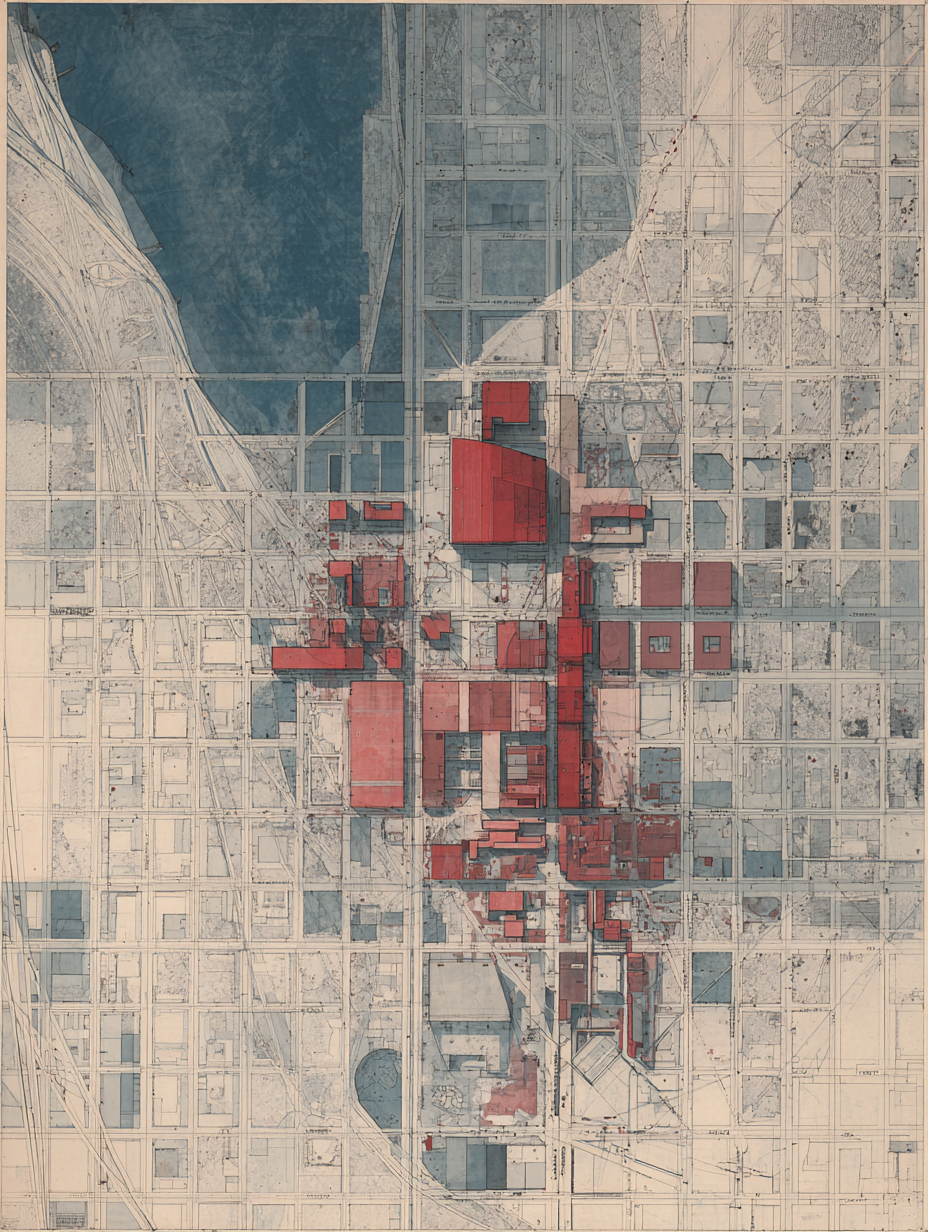
A SaaS landing page puts the product above the fold. A media site puts the headline above the fold. The Editorial District puts a breathing map beneath the prose, and lets the prose do the reading work uninterrupted.
This is harder than it sounds. The map is real. It zooms. It tightens around an article page into a neighborhood-scale ambient surface, then loosens at the sitemap into a borough-scale directory. It is not decorative noise. It is structural atmosphere, and the discipline is to make it carry the publication’s identity without ever becoming the thing the reader has to interact with.
What the discipline costs
Most cartographic interfaces fail in the same direction. The map demands attention. A click does something. A hover reveals a tooltip. The map app’s UX patterns are intrusive by design, because the map is the product. When the map is not the product, those patterns become noise.
The Editorial District’s map removes most of them. There is no live cursor. There is no zoom slider competing with the article’s reading progress. The three zooms — district on the homepage, neighborhood on the article, borough on the sitemap — are baked into the route, not into a control. A reader enters at the zoom the page intends, reads inside it, and leaves.
A reader enters at the zoom the page intends, reads inside it, and leaves.
The cost is real. The map cannot be a map app, so a lot of map-app code does not get written. The atmosphere has to be expressive enough that the reader feels it, restrained enough that the reader does not break their reading rhythm to inspect it. That balance is not a CSS variable. It is a series of small refusals applied at every component boundary.
Why an agent could build this
The instinct, on first contact, is to give the map more affordances. Add a hover state. Add a legend. Add a clickable region. Every one of those instincts is wrong, and every one of them is the kind of decision an agent might make by default, because more interactivity reads as more value in the training set.
The brand library names the refusal explicitly. The map is not a map app. That sentence, on the page, in the runbook, stops the wrong instinct cold. The agent is not arguing with a designer’s taste; the agent is operating under a structural commitment that has been made, written down, and shipped. The work becomes not “should this be a map app” but “how do I make atmosphere without crossing into map-app land.”
The visual hero of an editorial publication does not have to compete with the editorial. It can carry the room. That is the cartography’s job.